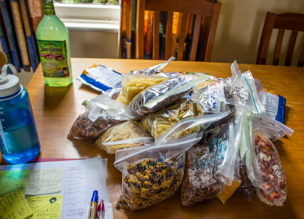
Food Preparation and organisation
This trip was planned to be a challenge. The planning was a challenge, the organisation and challenge, finding keen people a challenge and of course the planned route was too. In fact when the three of us girls set off for our all female traverse of the Olivine Range, we all but knew we wouldn’t be completing our set route. What remained to be seen was how much we would have completed when we rolled out of the scrub, scratched and bleeding, fifteen days later.
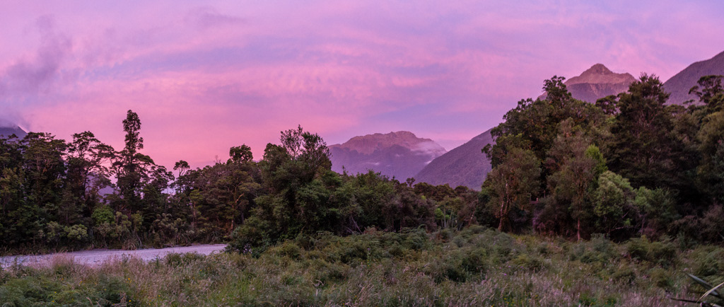
Stunning sunset.
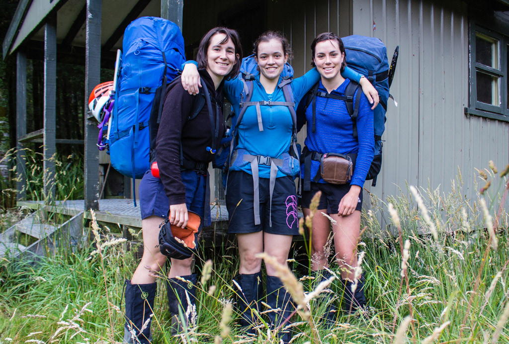
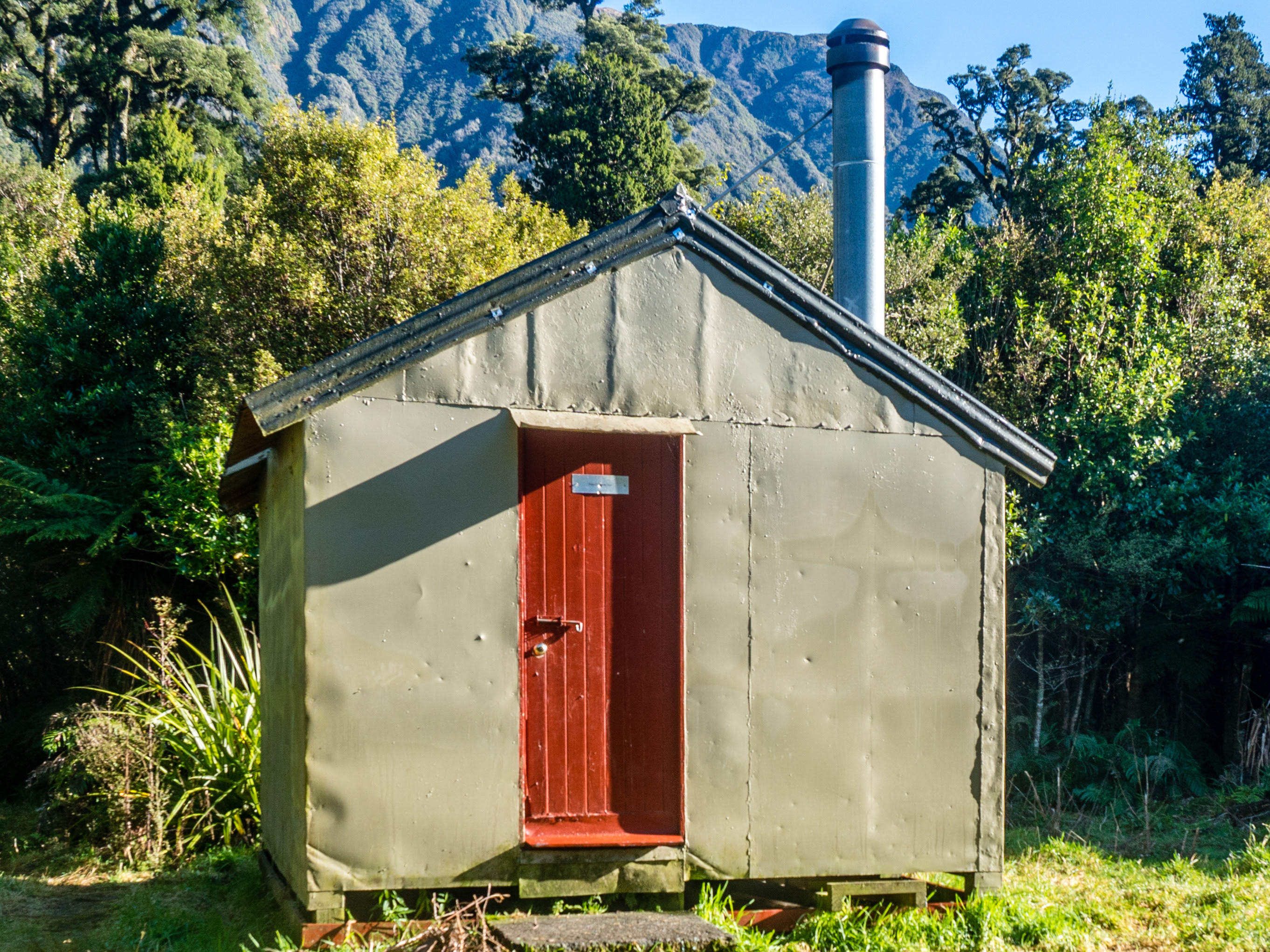
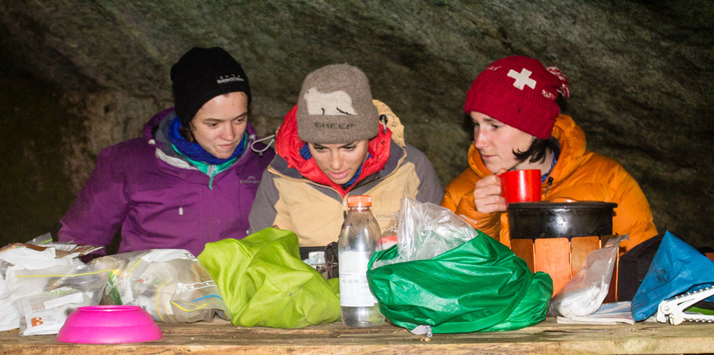
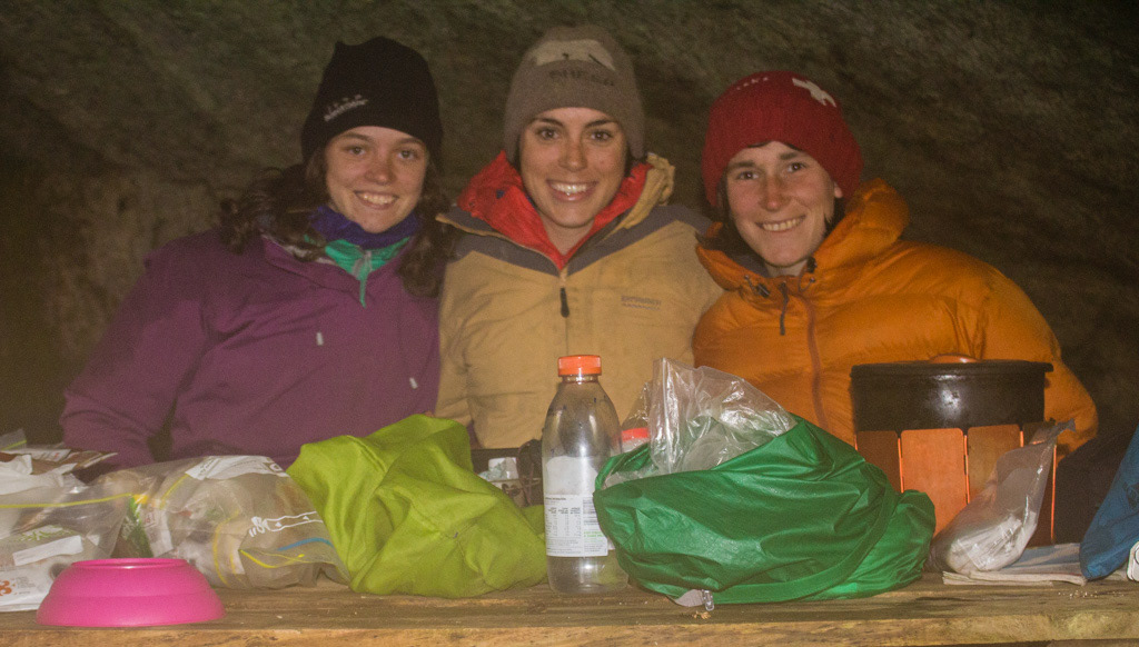
Penzy, Katherine and Lydia before setting off at Olivine Hut.
So Katherine quit the job she hadn’t yet started. Lydia negotiated getting leave in advance and far faster than anticipated the 16th of January rolled around and we were on our way to the West Coast with an ok, but not outstanding weather forecast.
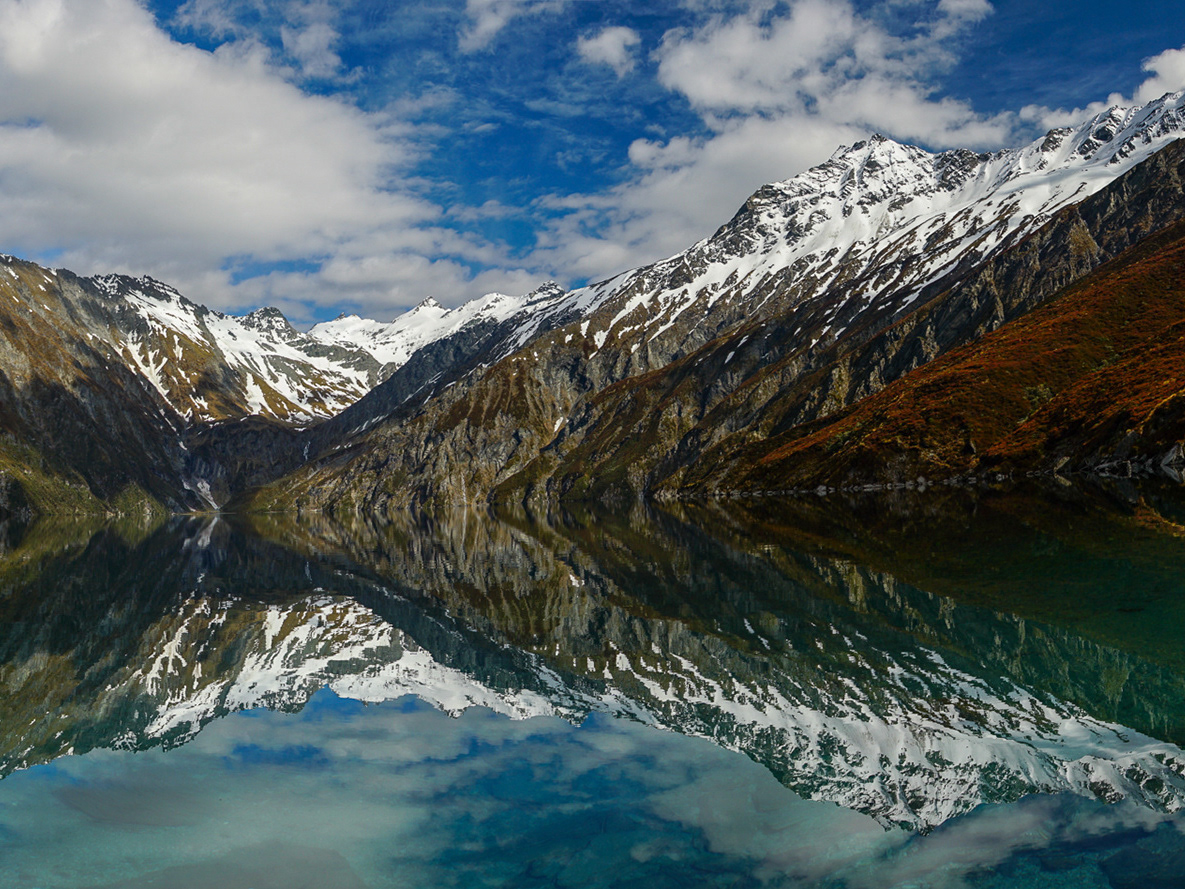
Stunning view the next morning.
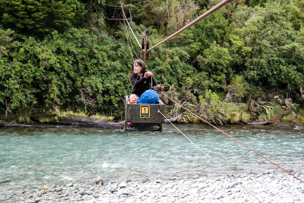
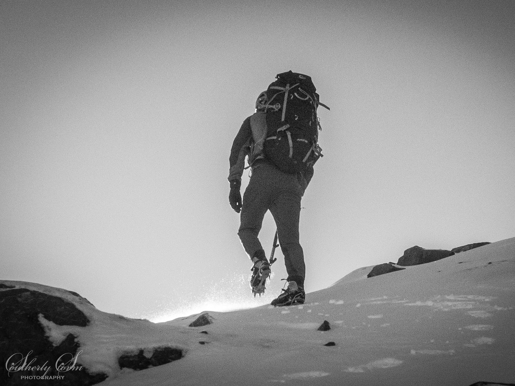
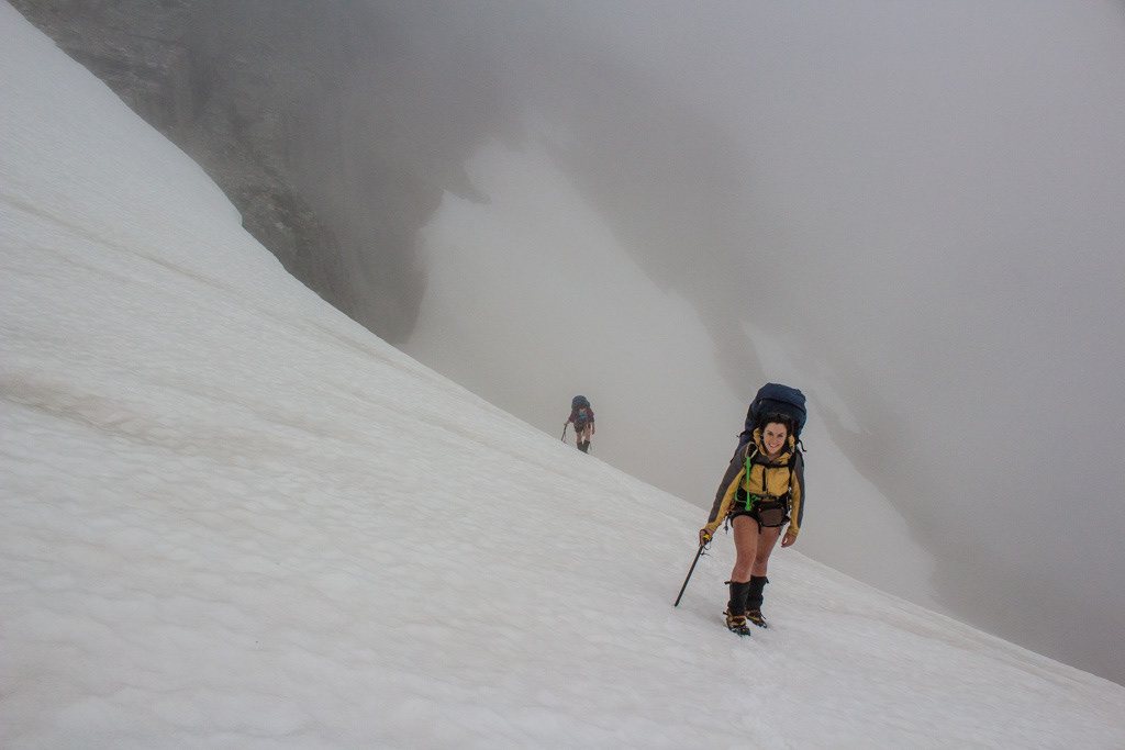
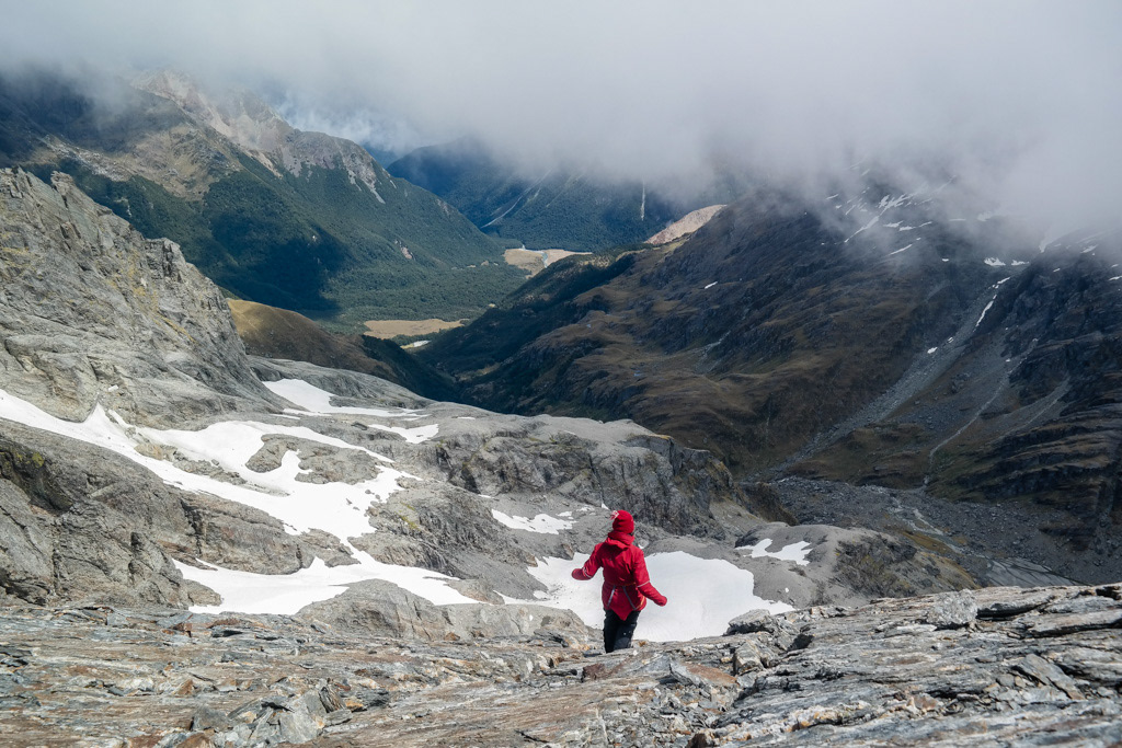
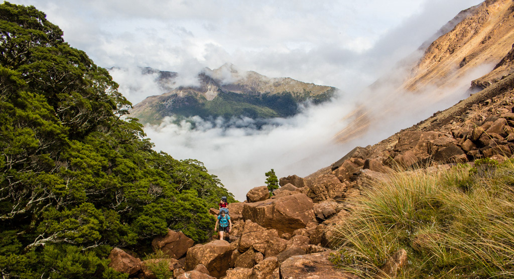
Penzy on the Olivine Cableway - Lydia McLean.
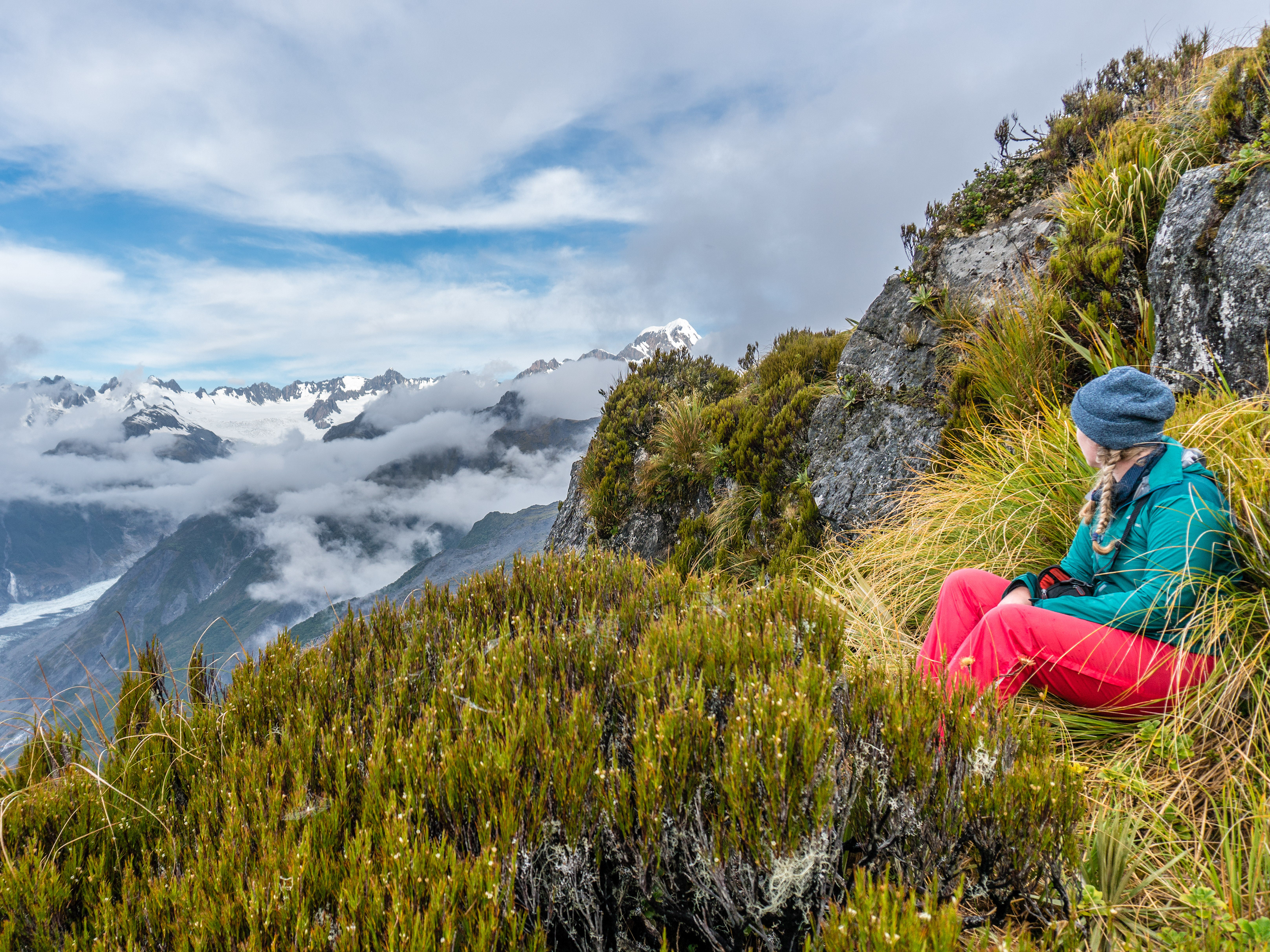
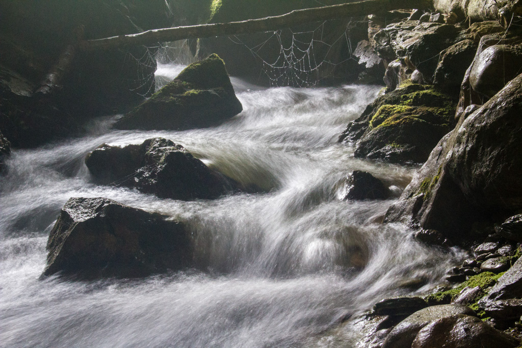
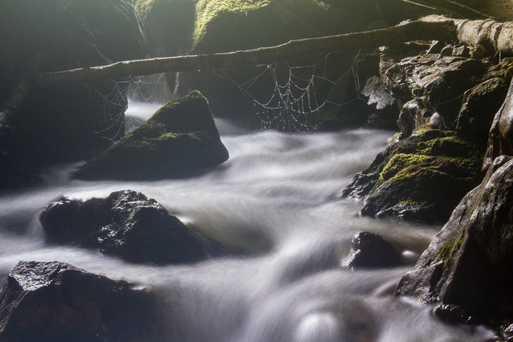
The first day walking was great, awesome cableway, fantastic weather but way too hot!
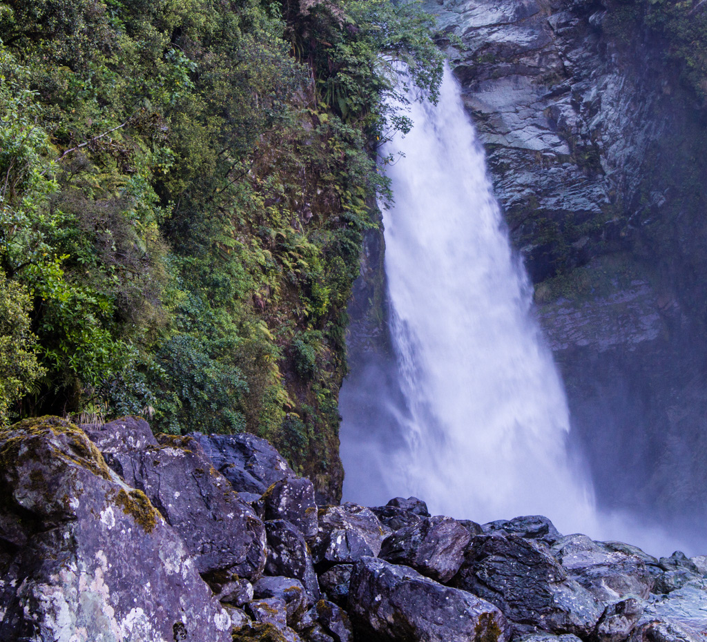
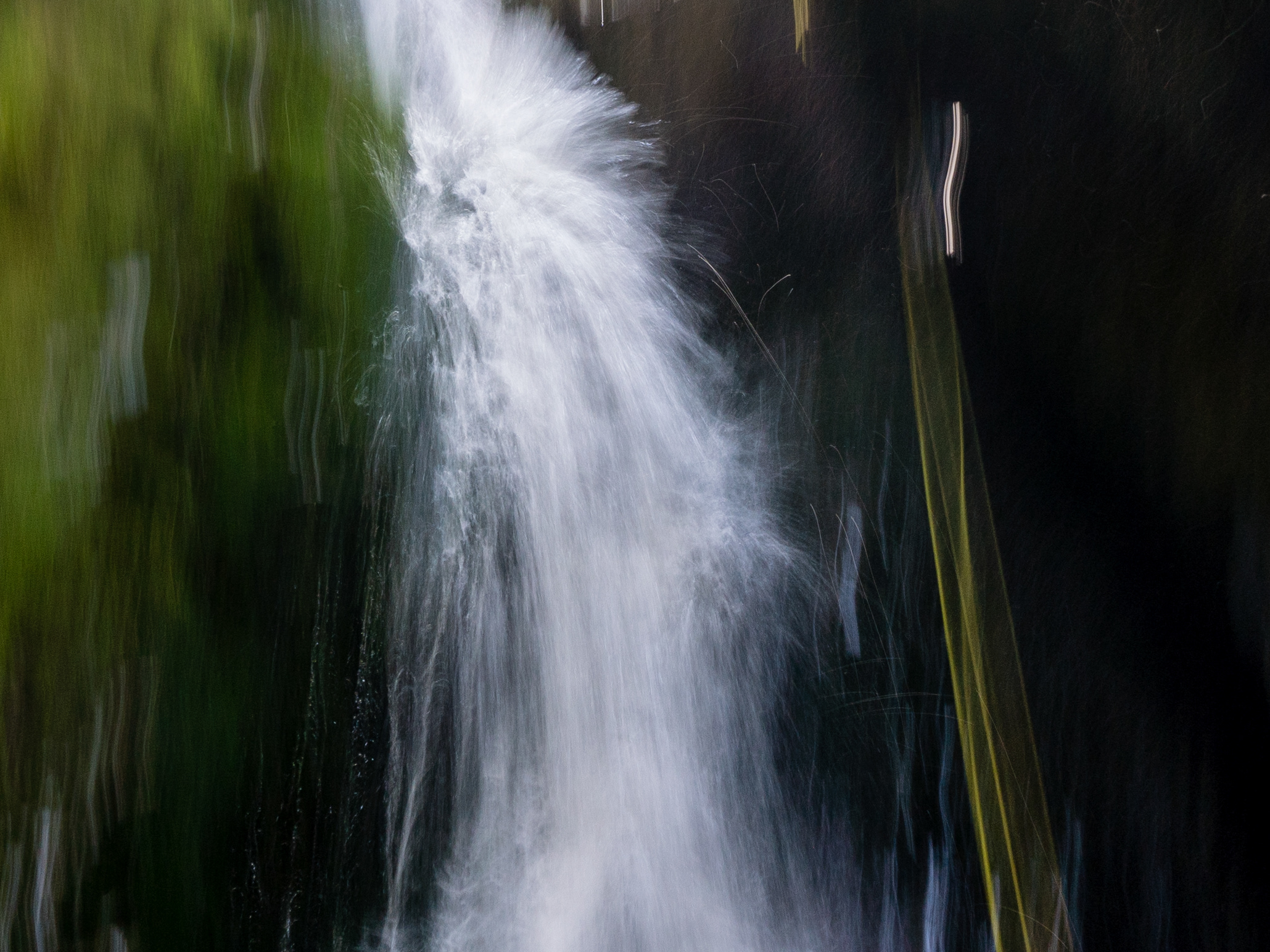
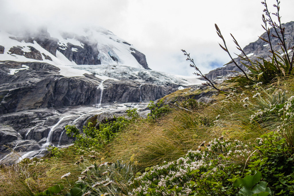
Olivine Falls.
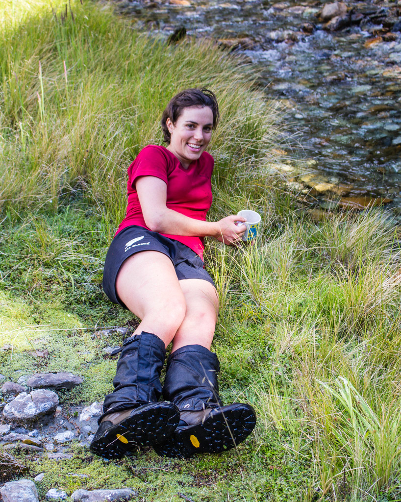
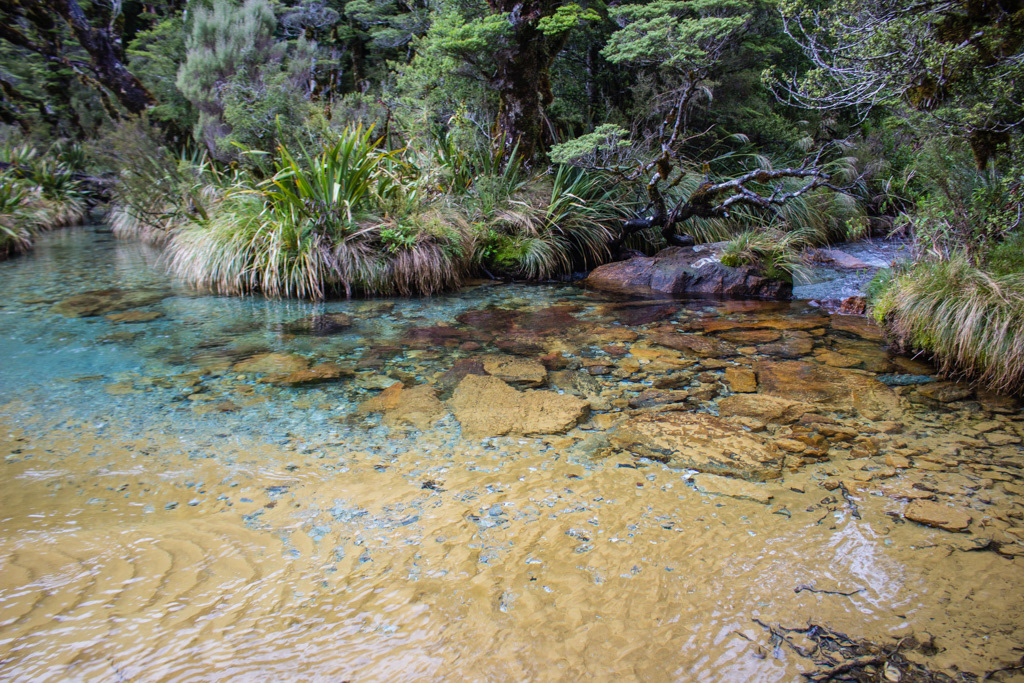
Lydia enjoys water again!
Difficult, but passable bushbashing into the Diorite, made harder by running out of water part way up and resorting to squeezing moss. So we were of course very excited by the paradise that was the upper diorite, and a very welcome swim.
Arriving saturated at the Biv. - Lydia McLean.
The next day also started well, the rocks up to Four Brothers Pass were considerably more stable and easier than described. It started raining an hour after we left camp. It didn’t stop, by the time we got to Forgotten River Rock Biv we were wet through, retrospectively that was ‘light’ rain.
Spreading out at the Forgotten River Hotel - and trying to be dry.
The rock biv was such a palace we vowed we would leave the next day unless it wasn’t raining, so we had a bit of relaxed morning until the sun came out.
Sucker Hole on Forgotten River Col.
Then it was time to put on yesterday’s wet clothing and I can assure you that no matter how bad you think wet socks are, there is nothing worse than a wet bra! I will never complain about wet socks again after that experience!
Forgotten River Col.
All was going well, until we stopped for lunch, at which point it started raining again. This was somewhat of a trip theme.
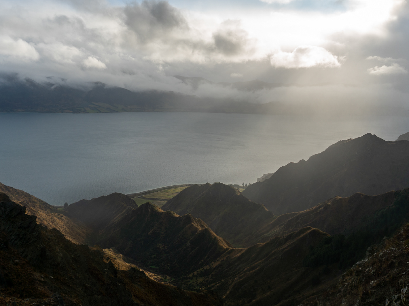
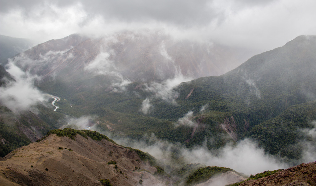
How about that weather.? Pretty much last view of the trip, on day 3 of ... many.
Penzy and Forgotten River Col. -Lydia McLean.
It's this way guys. -Lydia McLean.
Lydia and Katherine climb out of the mist onto Forgotten River Col.
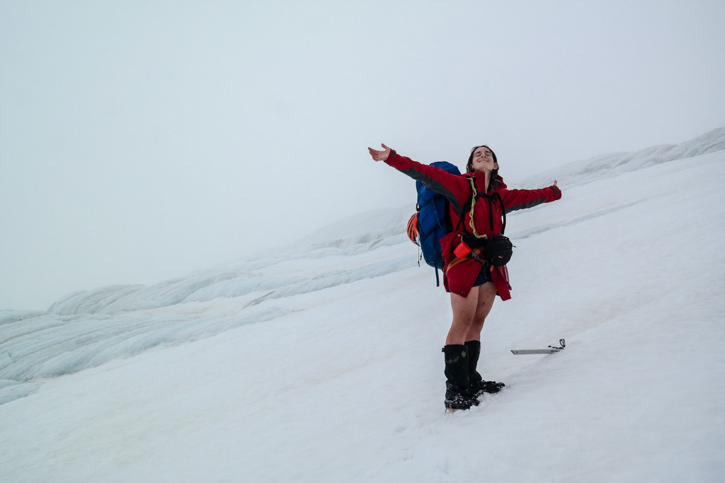
Penzy enjoying the weather - Lydia McLean.
So the great view we had had of Forgotten River Col vanished and we ended up climbing in in clag and thusly called it a bit of an early night in the hopes it would be better than the morning. Made dinner, it started raining, the lighter got wet. So from that day on I started getting quite good with the flint.
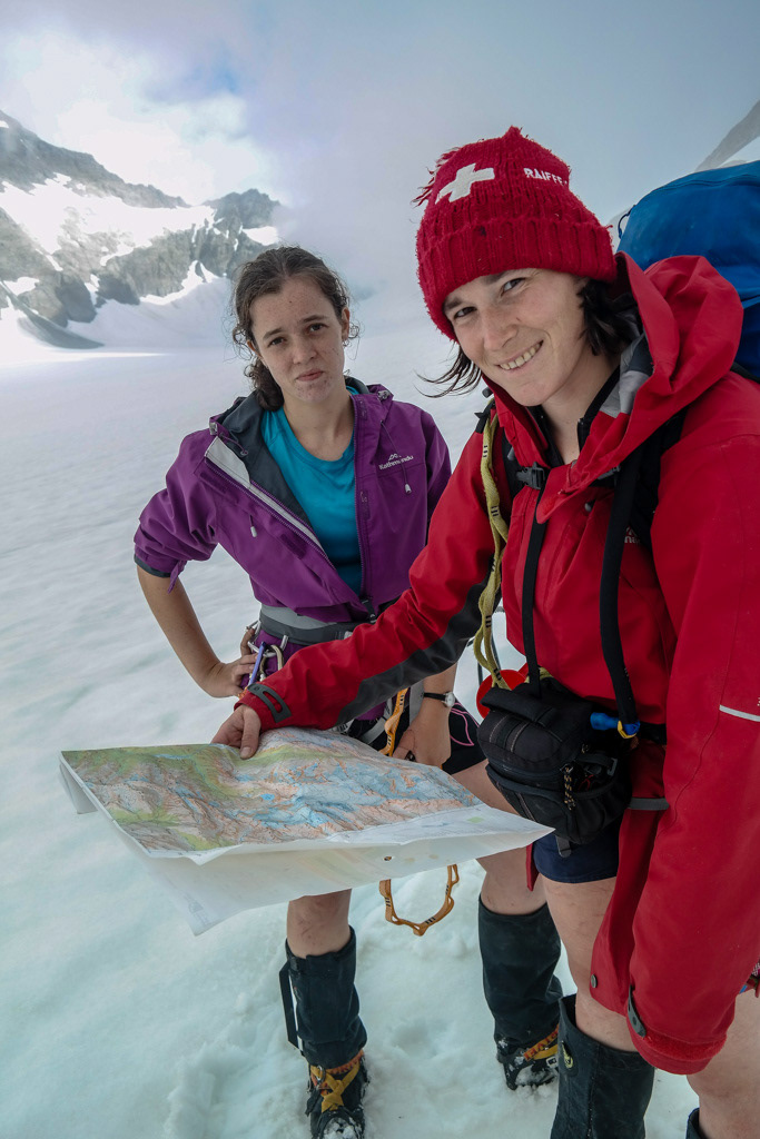
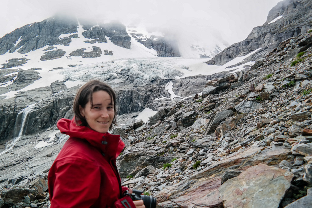
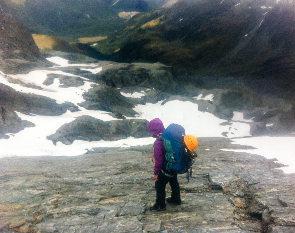
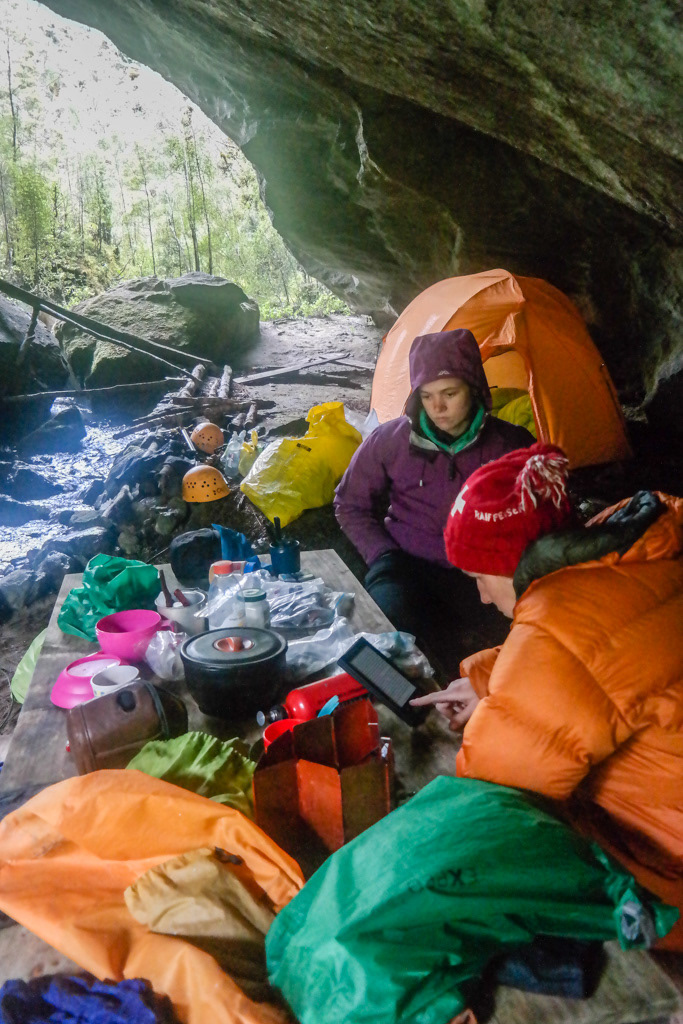
Katherine and Penzy admire the map of the Olivine Ice Plateau and try to correlate it with the low cloud. - Lydia McLean.
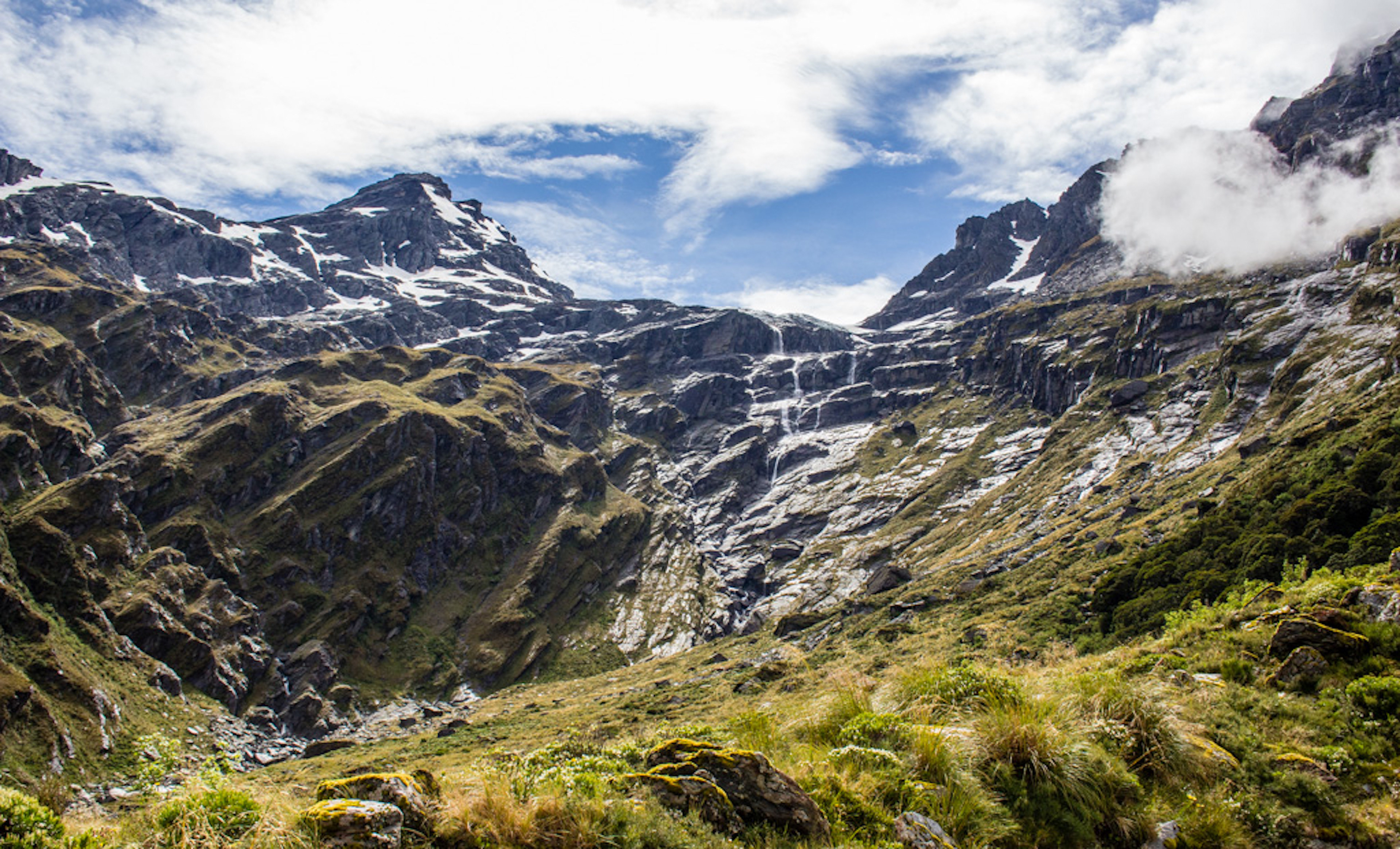
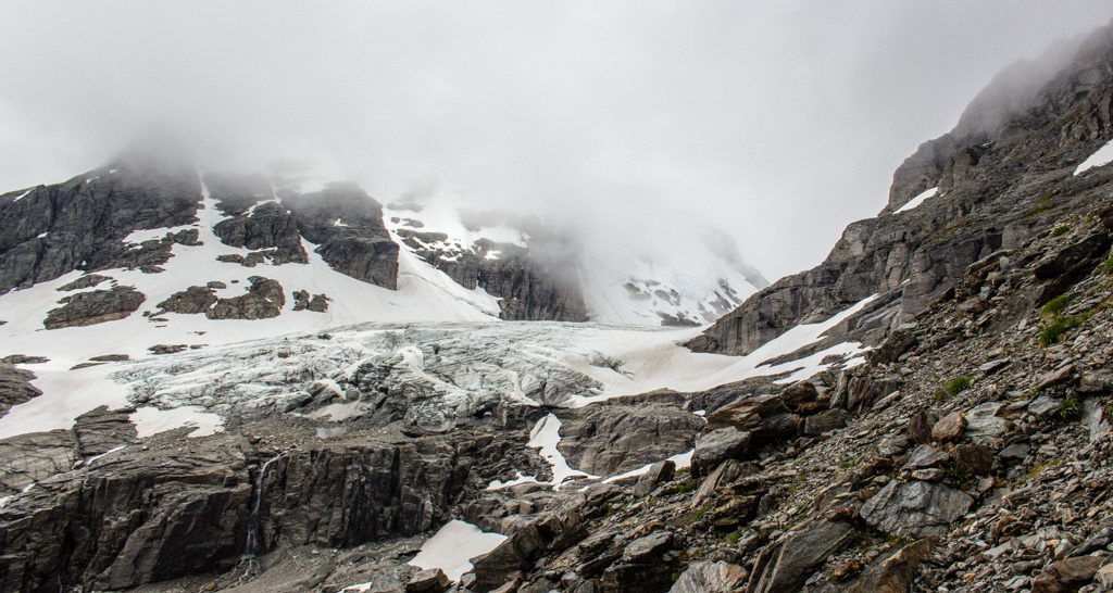
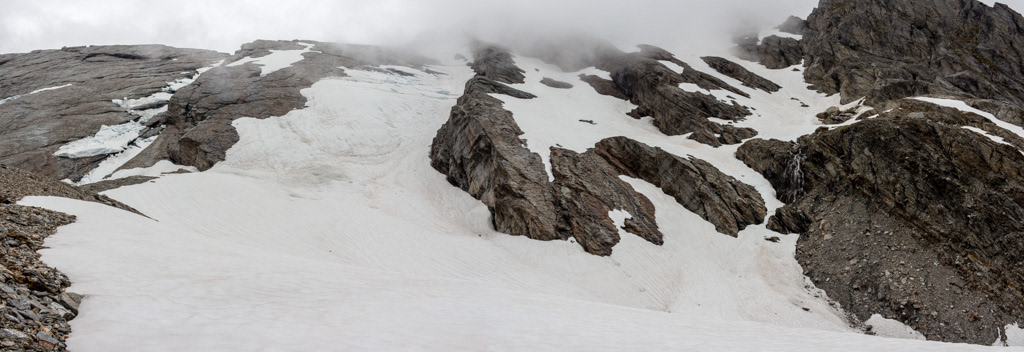
People talk about what a spectacular place the Olivine Ice Plateau is, and you’d better ask them about it. Because I really only have my imagination of what it might have looked like outside the cloud we were in.
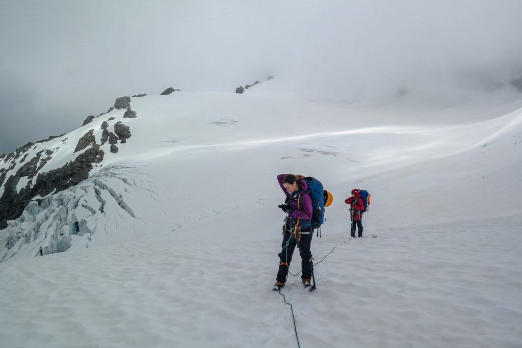
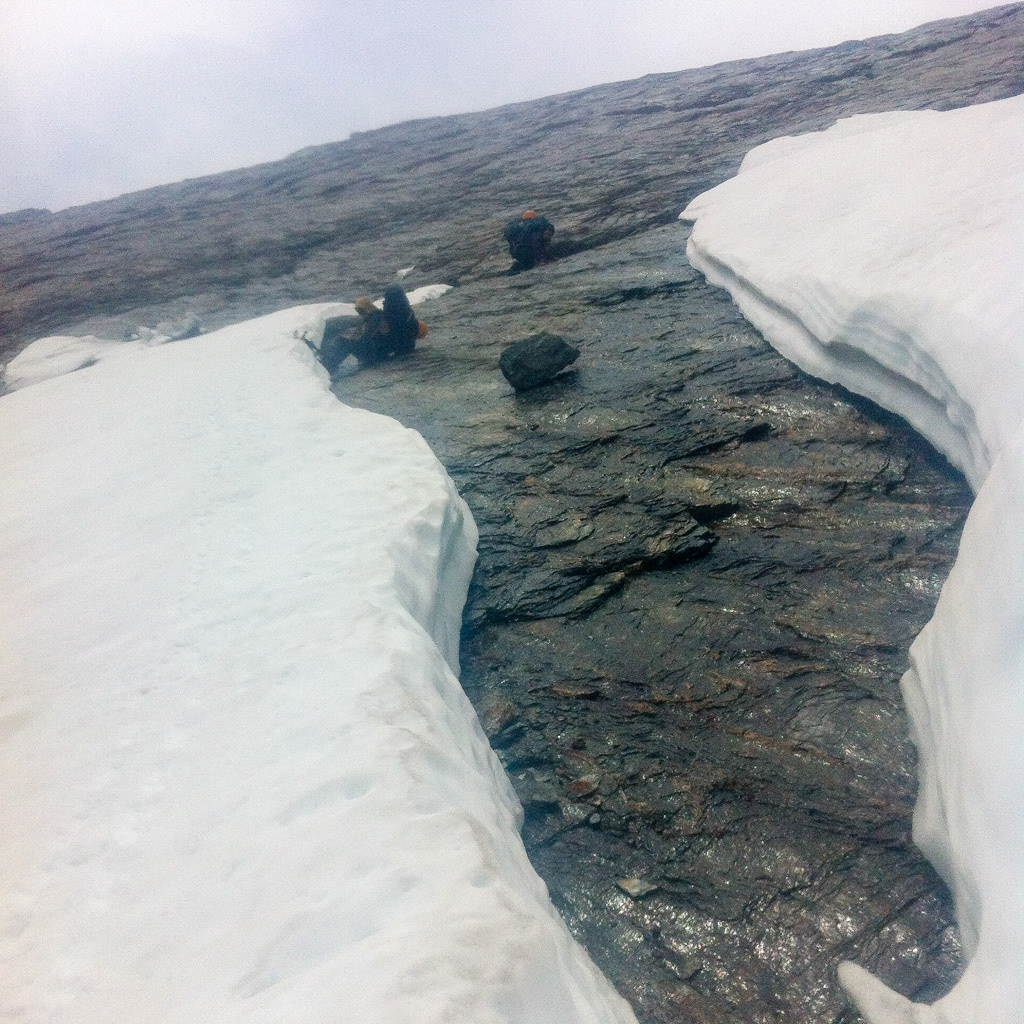
Katherine and Penzy roped for glacier travel. - Lydia McLean.
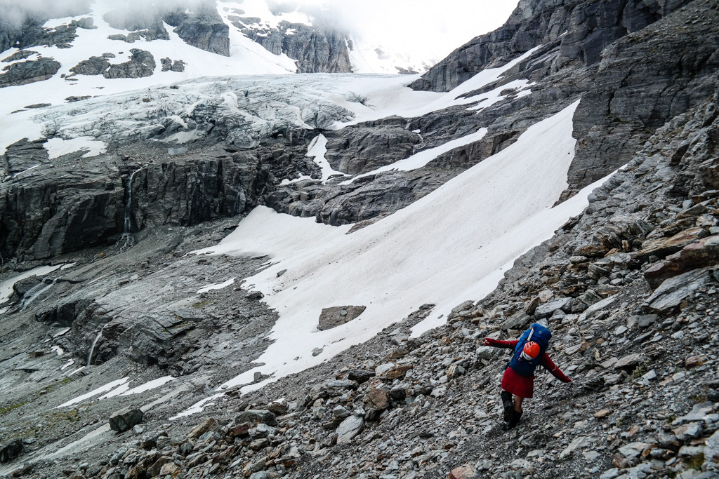
In good news though the GPS app I had downloaded for the trip worked really well and we found our way up Little Ark. And we found yet more clag. This was a defining point of the trip, as we’d heard earlier report of crevasses on the Gyrae Ledge, our planned route, and had hinged our decision to proceed with plan A on having a look at it from Little Ark. Hmmm, going well. We decided that while you can GPS your way across a glacier, you can’t really GPS your way out of a crevasse that you can’t see, so we picked our bail out option, which had the added bonus of a rock biv in two days time when the really bad weather was supposed to hit. As if to corroborate our decision the cloud lifted locally so we could see the crevasses between us and the bail out route.
Penzy checking out the bail out option. - Lydia McLean.
But still not the Gyrae Ledge, so we roped up and headed off, towards col 1925 below Darkness Peak, which proved to offer highly entertaining options for getting down.
Katherine makes her way on the slab. -photo taken on phone.
The information I had for this section of the trip contained the words ‘you can always abseil’, I would now like to contest this information. Because what we found ourselves on was ever steepening bare slab. Not an abseil point in sight.
Lydia at crampon point and Katherine waiting her turn. -photo taken on phone.
Eventually we got to the point of not being able to continue of the slab and began making our way across to a steep, somewhat broken up gully on snow, which looked a lot like heaven, event though at any other time I probably would have tried to stay away from it. Getting onto it was another challenge. We start with Lydia trying to dig a platform in the hard snow to get her crampons on one at a time while not dropping anything. And eventually managed to sort it out by bracing ourselves against the snow edge while trying not to slide under it. But then we were on our way.
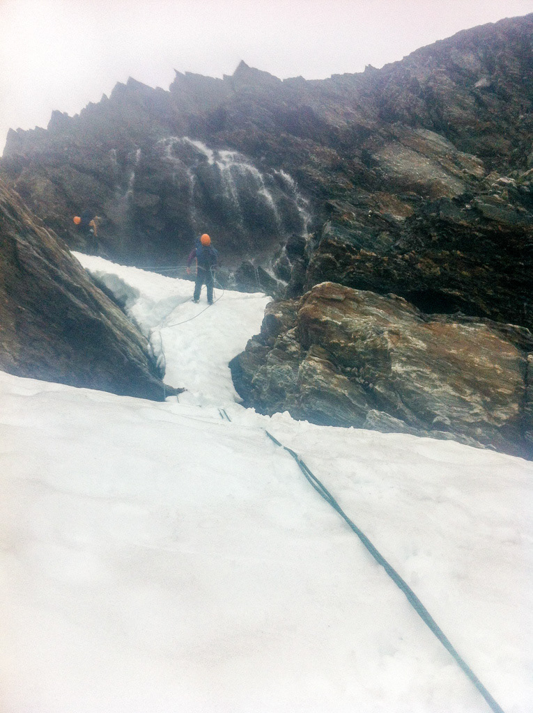
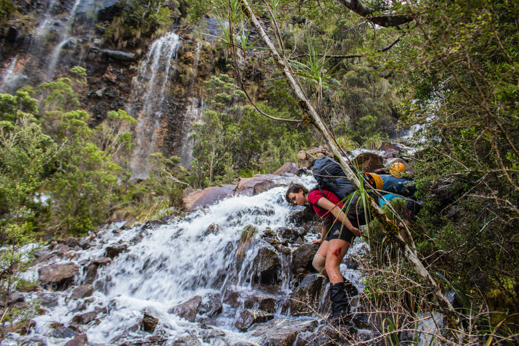
Katherine abseiling down over a thinly covered waterfall, off a snow bollard and Lydia waiting to take out the back up T-slot prior to her turn. -photo taken on phone.
Straight down didn’t go because of the cut up mess of snow, but we found another less cut up gully further over with a waterfall running under thin snow, so set up a quick snow bollard abseil and we finally on easier ground in time for lunch. In the rain. At 3pm.
See if you can figure out where we came down? Or better yet, spot a better route!
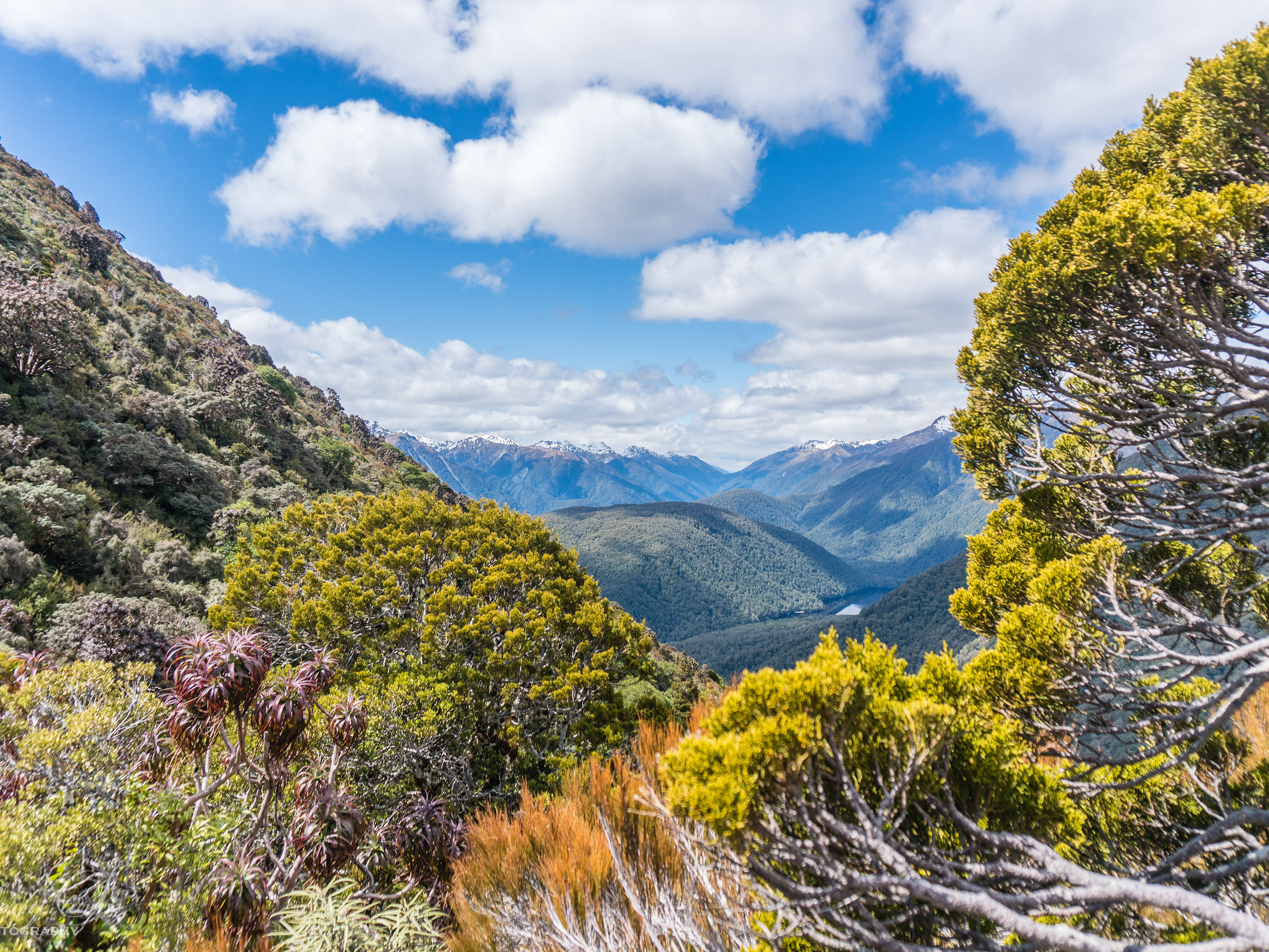
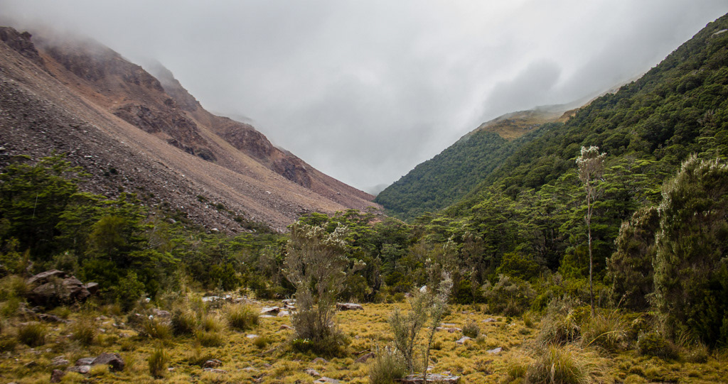
Looking towards the Barrier Ledge ahead.
It was straightforward and very enjoyable going from here up onto the Barrier Ledge; despite the very tempting valley campsite we passed. And the ledge was the highway we’d been promised. We set up camp cooked dinner; it rained so we had to frantically pack stuff away with one hand while frantically eating with the other. Who needs relaxing sit down dinners any way? Then we rang out for our first forecast of the trip, not much had changed. The big front was coming slightly later and it would shower before that and a bit a bit after that, all good, would be too hot if it was sunny any way right?
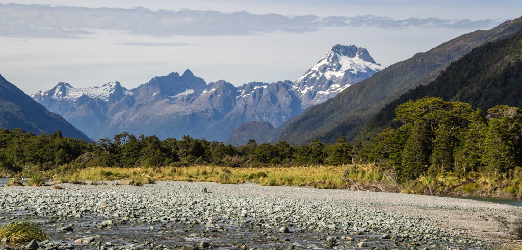
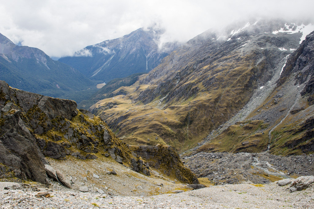
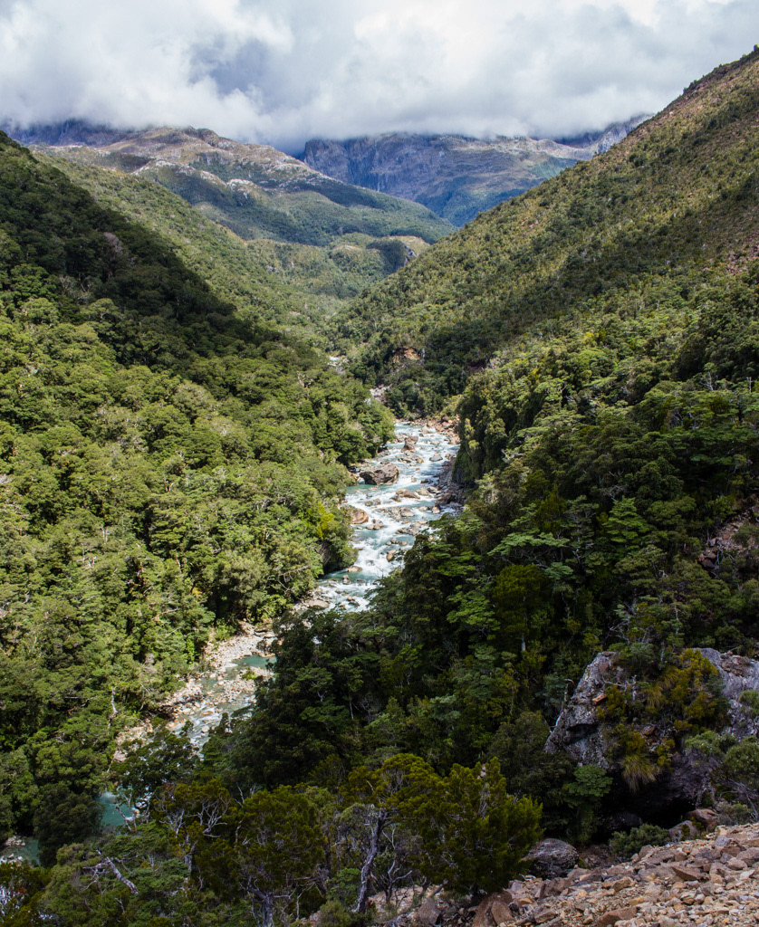
Love how this river flat contrasts with the craggy peaks above.
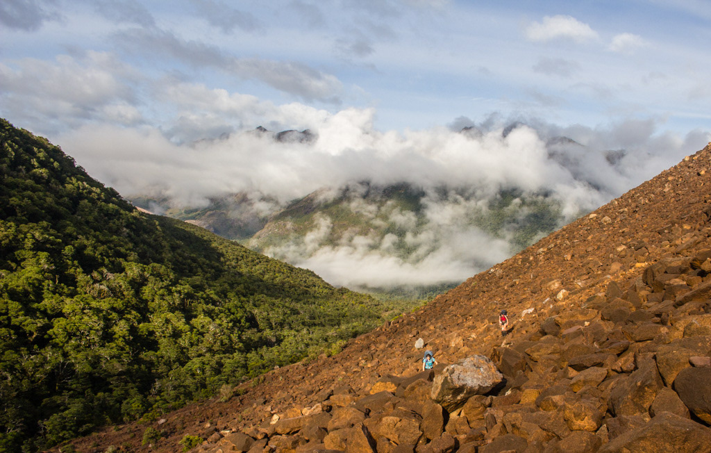
Looking back at out route and Darkness Peak from yet further away.
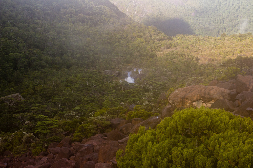
Looking down towards the Pyke River and beyond to the Red Mountains where our safe shelter lay. The cloud almost made it look like a volcanic landscape.
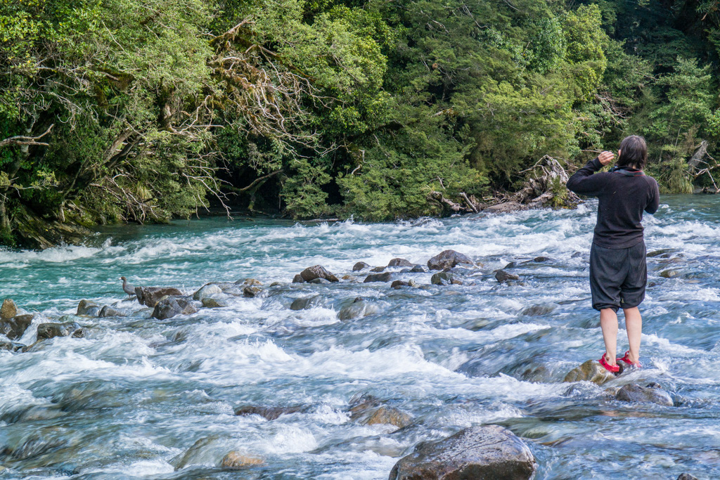
The next day was a long one and it was supposed to shower a bit. But we woke to steady rain, packed up and I told the others they were in charge of stops today. I hate stopping in the rain. We headed along the ledge and round to Stag Pass, which involved bushbashing a bluff ledge system, just inside the trees. Sure bet the scrub though! On top of Stag Pass was miserable weather, so no view, not thoughts of climbing Little Red Mountain, just keep walking. Just above Rata Stream, we had a pause and Katherine had some lunch. Then we found a green rock, which then broke apart to reveal fibres. We had found asbestos! Getting on to the spur of decent between Rata Stream and Kea Stream was a good time, asbestos make great scree and the rain was keeping the fibres on the ground. Soon we were at the Pyke. And predictably it was running high, so we set off bushbashing, hoping it wouldn’t take too long to find a decent crossing spot. About 20 mins later we spotted a swimming hole. Maybe we could swim the river? We found our way around and down the edge of the bluff to it and began sorting out how we would keep everything dry while swimming. I wasn’t too keen on getting any more wet than I was so I bushbashed a further 20m and found an ok crossing right where the swimming hole ended. Wet shorts. That’s ok can deal with those! Finally on the correct (and right) side of the river, but the going didn’t get much easier.
Our swampy campsite the next morning before the rain really set in.
We eventually found a small piece of tape which we assumed to be marking the start of the route up to Simonin Pass, so plunged into the bush only to loose it immediately and pop out of the bush into the wonderful boulders some distance from the intended route. Maybe you’ve been there before, or maybe you’ve just heard of the legendary ultramafic boulders. Fantastic red boulders with an outstanding grip profile, but also a high propensity towards damaging skin ‘it’s like tramping between cheese graters’. But for whatever reason, I don’t know maybe the damp atmosphere there boulders were also extraordinarily slippery. This made for careful progress of about 600m per hour and some unintentional blood loss. So there we were, scrub, mist and ultramafic boulders. Then it got dark. Out came the head torch, and the GPS and I was starting to feel some minor chafing of the thighs. And eventually around 11pm we found ourselves on top of the rock bivouac symbol on the map. But no rock bivvy. Just as we were about the give up we found a massive cairn in the middle of a clearing. That had to be it right?! It surprising how big a small boulder can look by the light of a head torch and just how much a tree can resemble a boulder. We had so many eureka moments spotting boulders around that clearing only to be crushed as we approached closer. By 11.30 we were truly disheartened and set about finding the dry patch of said swampy clearing to camp on. At 11.35 we crawled into the tent and had lunch. 11.35pm that was. Shortly after this I discovered the ‘minor’ chafting was actually causing blood to run down my legs.
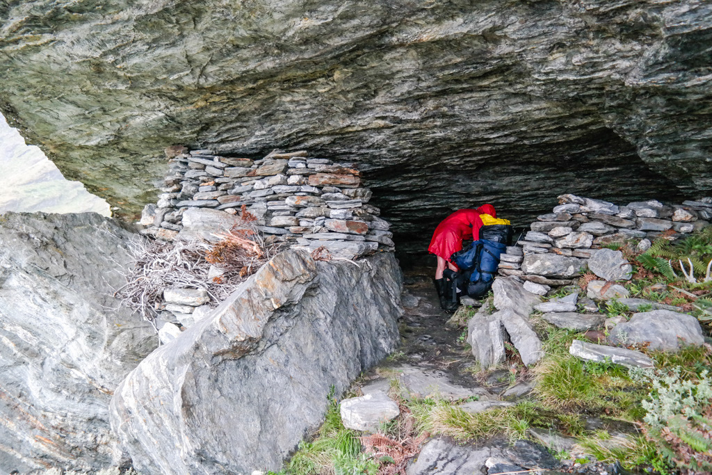
Penzy's rock biv -dry end.
We woke to rain. Forecast rain, but rain nonetheless. I got up and went on a long enough search for the bivvy to get the others worried about me before heading back towards camp in the glum realisation we would need to head for the camping just below simonin pass, hoping it was less swampy, and sit out the storm in our tent. On a wild whim I checked out a patch of bushes on my way back and found an uninviting overhang which clearly flooded from time to time. However, there was a dry end to this where we could maybe light a fire and have a dry-ish spot to hang out outside the tent in the glorious weather. So we packed up camp and headed the 5 minutes back there and then thoroughly disappointed ourselves with just how average it was and how this must be the ‘rock biv’ marked.
Penzy's rock biv -wet end.
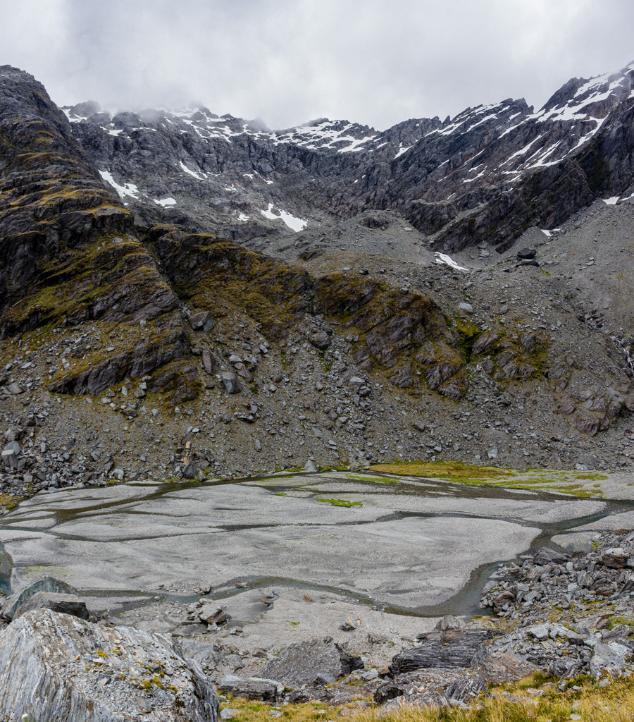
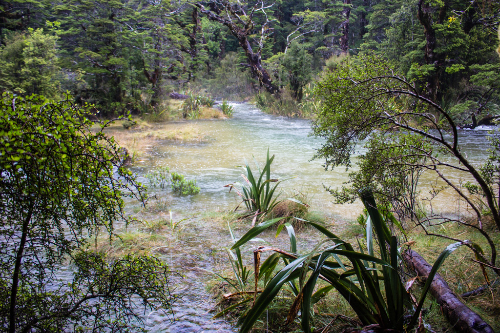
Remember how this river looked for future reference.
Simonin Rock Biv.
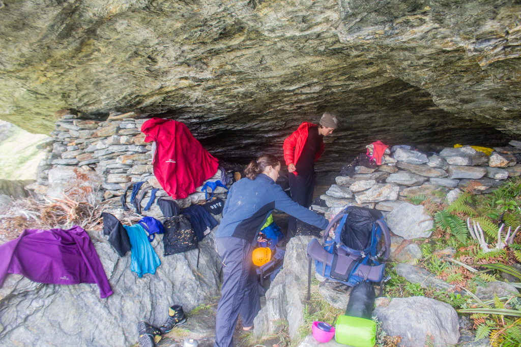
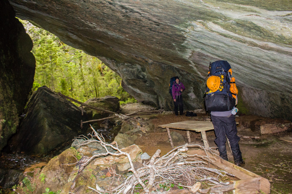
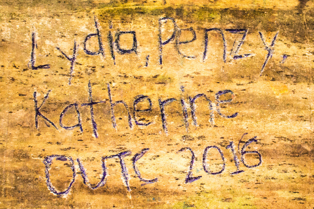
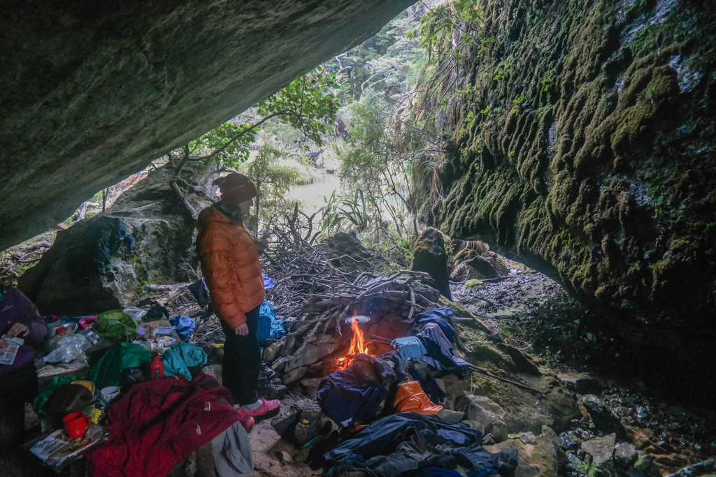
Lydia went for one final circumnavigation of the boulder and came back positively beaming. Around the corner, between our first boulder and the next was a positive cathedral! Complete with fireplace, running water, table and chairs, as well as various historic artefacts. We had found the fabled bivvy of Simonin Stream a good 250m upstream of where it is marked, at CA10 286 795.
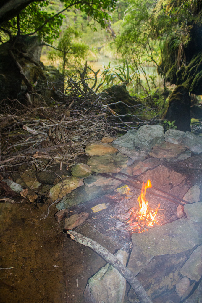
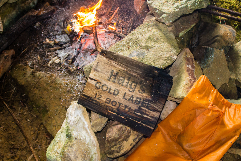
Smoky fire.
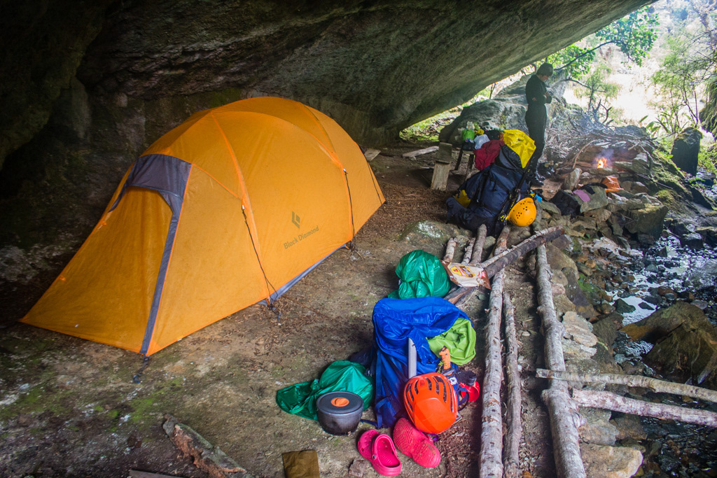
We settled in for a cosy rest day.
Wish they'd left us something more than just the box.
Rock biv visitor in steady rain.
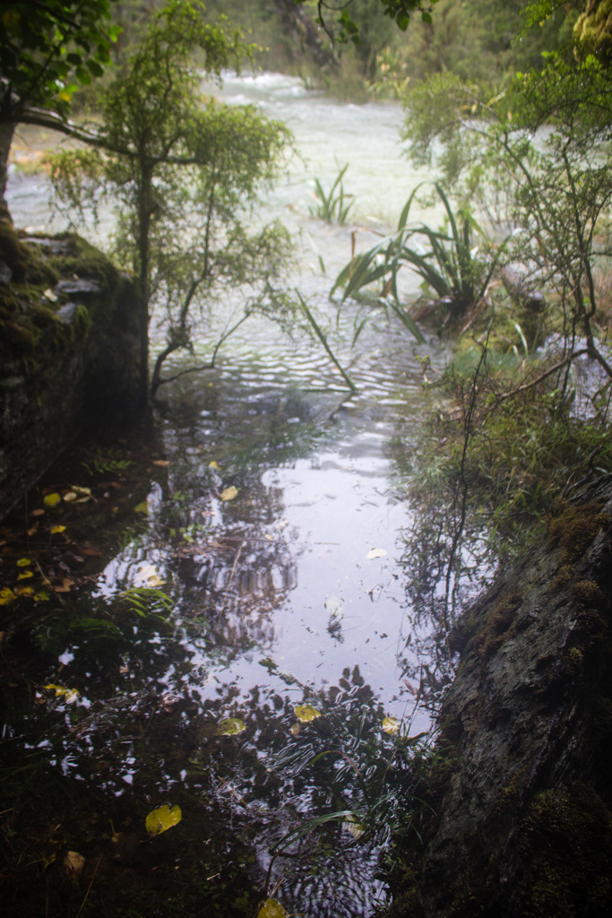
Steady flooding.
And it rained. And rained. The rained some more. And then it rained a bit harder and I lost track of time.
Boredom activities; chopping up logs with a pocket knife. -Lydia McLean.
Boredom activities; Photography of the in biv running water, complete with spider web.
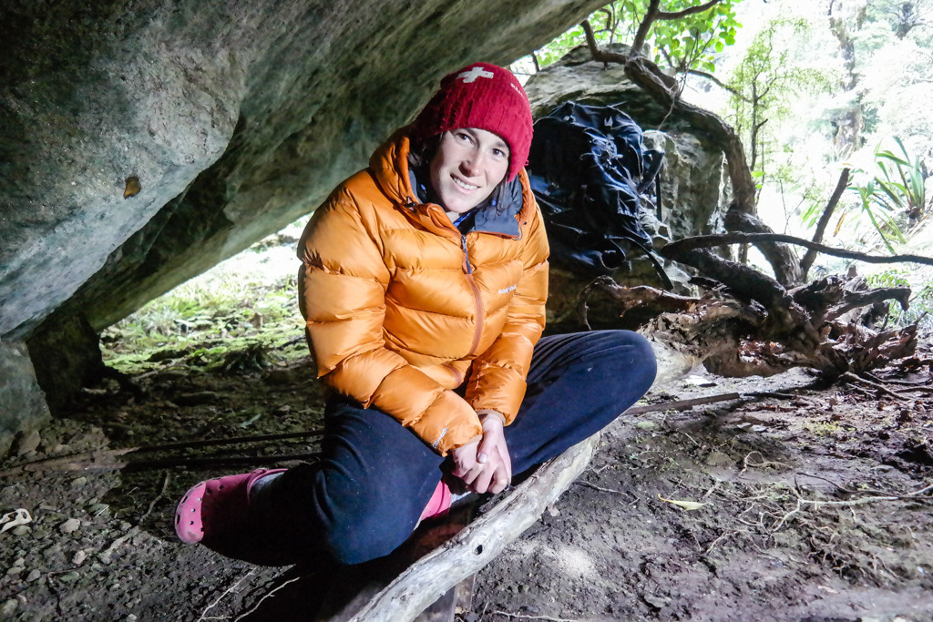
Penzy on life in the cave.
Boredom activities; how still can you stand while taking a photo?
Hmm... thats getting wetter.
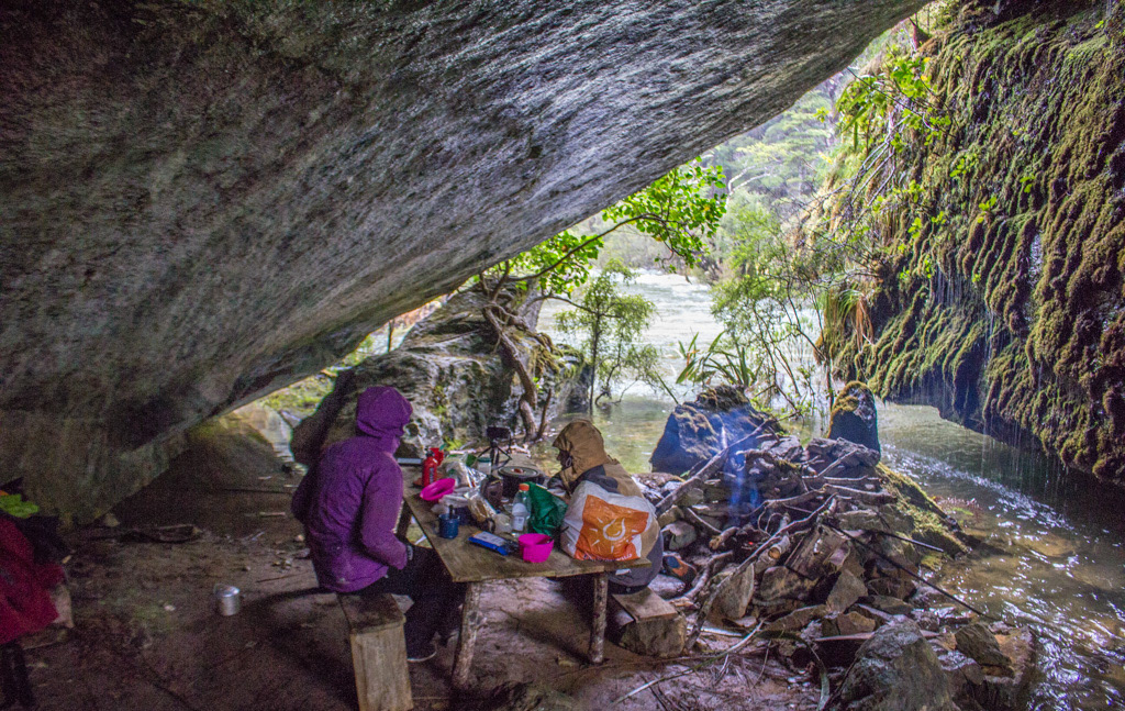
Boredom activities; sitting at the table and watching it rain.
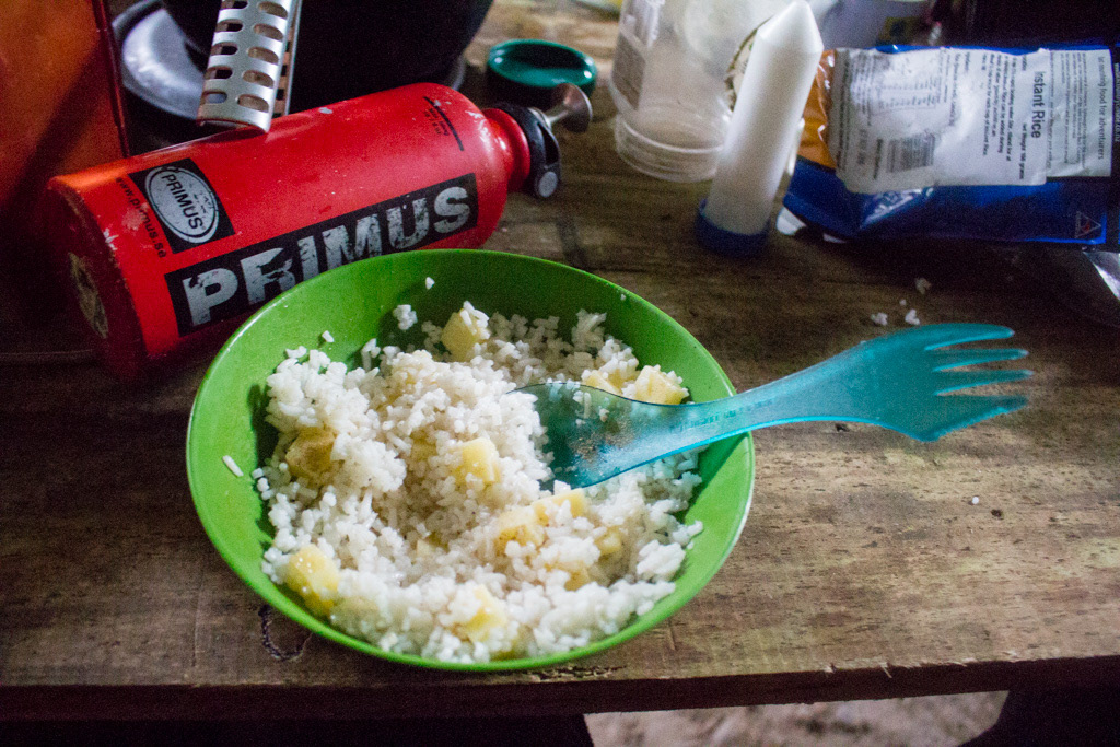
Dinner rations, rice and cheese. Even if we had only spent 2 days in the cave like the forecast we still would have been running pretty low on food by the time we reached the food drop. So luckily we started rationing early, or else it could have been a lot worse.
Penzy getting an updated weather forecast on a rapidly shrinking island. -Lydia McLean.
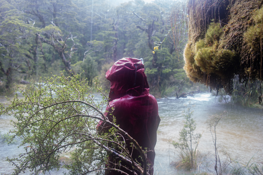
On about day 3, when it was most certainly meant to have stopped raining the day before, yet the river was somehow higher than it had been on the day it was supposed to rain hard, I put on my wet weather gear. Pulled a plastic bag over the sat phone and climbed over a couple of drowned tussock bushes to stand on what was a now a shrinking island in the flooded river (a few days earlier it had been a lovely terrace) and rang Max. Because I knew he’s be near a computer. The conversation went something like ‘Hi Max, It’s Penzy, I’m standing on an island in a flooded river and I would like to know when it’s going to stop raining?!’ I did also reassure him that I was actually safe and at Simonin rock biv, so he wasn’t too worried when I cut out a minute or so later. The answer I got? ‘Not for another 48 hours’.
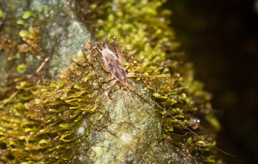
Cave Weta forced out by rising flood waters.
That was the day the fireplace became a prow of land, the river nearly reached the table, some cave weta became stranded on a rock and a plank from a previously deceased stool started it’s journey to the ocean. Time becomes somewhat surreal in such settings, as do many things. You begin to seriously wonder if it ever will stop raining again. You become amazed by just how heavily it is raining and then enthralled when it starts to rain yet heavier still.
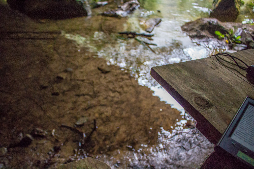
A time lapse of the flood
The highest the flood waters got, nearly at the table. Note that puddle was where I was sitting a few photos earlier sawing a log up with my pocket knife.
Lydia reading Memoirs of a Geisha aloud. I think we spent most of the time in this position.
You sleep, you get up, you eat, you worry about the dwindling food supply, you make plans to leave tomorrow, or later that day and then realise you get no say in the matter, and wondering if it is ever going to stop raining. Logic tells me we sat in the same spot around the table for 5 days, feebly trying to dry our gear by a poor fire in a damp, cold, draughty and noisy biv. Mostly I’d say that was the point where I lost track of how many days our trip was. We amused ourselves taking photos and filming, fiddling with the fire, carving in the table, making rock art on the walls and by having Lydia read all 449 pages of Memoirs of a Geisha aloud to us.
Katherine on life in the cave.
Mid trip group photo.
Boredom activities; carving our names into the table.
Boredom activities; staring into the fire and making plans that you are going to end up changing again, while pretending to dry gear. -Lydia McLean.
When you eventually go insane... or at least I do!
Boredom activities; Penzy hogs the e-reader. -Lydia McLean.
The biv was somewhere near that flood.
Finally a view!
When we finally left the biv we had been short on food for several days, Katherine more so than Lydia and I as she couldn’t eat much of the food we had going spare. I also felt profoundly deaf for the first half day, but relished the silence as a welcome change from the undying roar of the river.
Katherine and Lydia make their way slowly towards Simonin Pass.
Halfway up to Simonin Pass I started to have doubts. We had left in high optimism that morning that in two days time we would be opening up our food drop on Arcade Saddle. But it pretty quickly became clear that several days of short rations was not to be argued with, we were making slow progress with Katherine and I feeling particularly sorry for ourselves. While lunch was a welcome break, condiments, of which our lunch mostly consisted, are not in themselves really enough for a meal and it was from about this point on that we felt our chances of success were really going down hill and we were perhaps just postponing the inevitable call for help. There was also the Cascade River to be contended with.
Katherine and Lydia arrive at Simonin Pass.
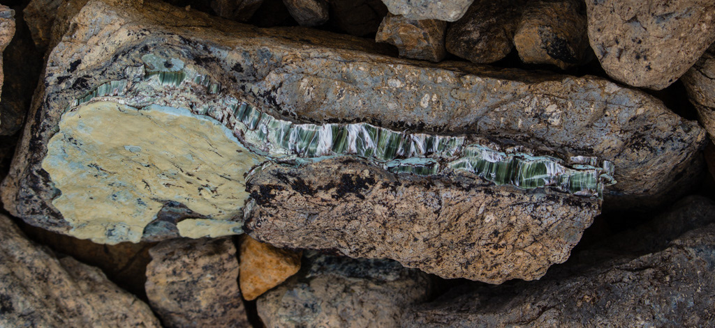
Free range asbestos.
My nemesis; the Cascade River.
Lydia crossing an unexpected stream off the red hills, while displaying the signs of recent interaction with ultramafic boulders.
The route we had taken sidling around Red Mountain, was described in Moir’s as a particularly dry route. This was, however, not our experience. We found water cascading suddenly out of the sides of Red Mountain in high volumes and clearing taking the course not often taken, judging by the drowned looking vegetation in the streambeds.
Another swampy, rainy, wet campsite.
This did not bode well for our crossing off the Cascade and sure enough upon arriving at it’s banks it was clear the Cascade was still running well above normal, despite Steve’s rule of it needed only 12-14 hours after it stopped raining to return to normal flows. (I guess 700mm of rain will do that for you). When we failed to cross the river that day, we pretty much knew it was all over. Even if we had been able to cross the river there’s no guarantee we would have been able to haul ourselves up to Arcade Saddle the next day and splitting the group would have been a poor idea in such tiger country, despites it’s appeal at the time to our hungry brains. By the time we set up camp, in another swamp at 8pm, surrounded by more apparently quite flooded creeks flowing off the Red Hills we were fairly hysterical. And of course as we cooked our remaining fraction of a meal it started raining. Good bye to any final hopes of crossing the river tomorrow.
Lunchtime drying rack.
The next day was worse. Well the weather was great. But the combination of hunger and disappointment in ourselves made the bush/scrub/boulderbashing all the more unpleasant. It took us until lunchtime to go just a few kms to the river flats where we threw ourselves at the ground and walked no further. We had reached the end point and while we could go on into utter misery, the risk of doing something dumb or dangerous in our current states wasn’t worth it and that chance of getting out on time was gone along with pretty much all hope of getting there without assistance. We called the helicopter. Who much to our dismay said they wouldn’t pick us up until the following morning.
At least the ground was finally dry.
Oh well it’s as nice a place as any to go hungry. We dried our gear, and had a swim, both of which were very novel as the last time we’d had either was day 1. Finished our condiments and Memoirs of a Geisha, [lamented having got our periods in sync and early, without having any tampons to hand (this is the real reason we needed rescuing!).]
Drying everything.
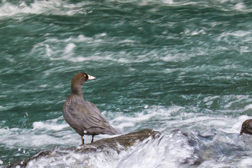
Whio on the flooded Cascade.
We worked on our tans, searched for greenstone and were visited by some Blue Duck.
? Whio for dinner...
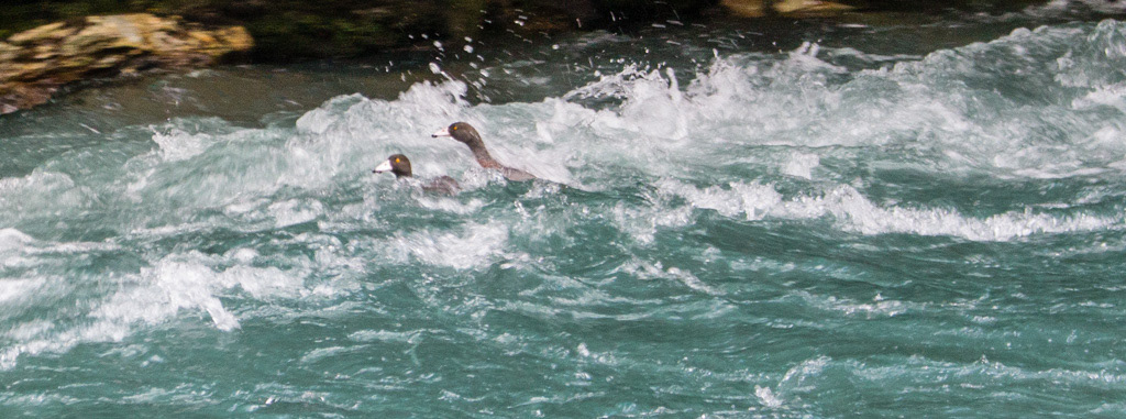
Whio make good their escape.
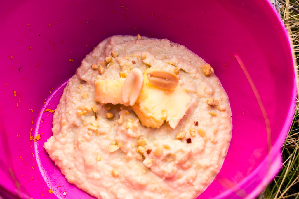
A final dinner of hummus, cheese flakes and peanut. Yes singular peanut.
We dissected the trip and came to the conclusion that there was virtually nothing we could have done different to change the outcome. Other than perhaps phoning a friend a few days earlier to come meet us with some food, although the problem was a few days earlier we still thought we’d get to our food drop. And by the time the helicopter picked us up all we had left was tea, salt, pepper and olive oil!

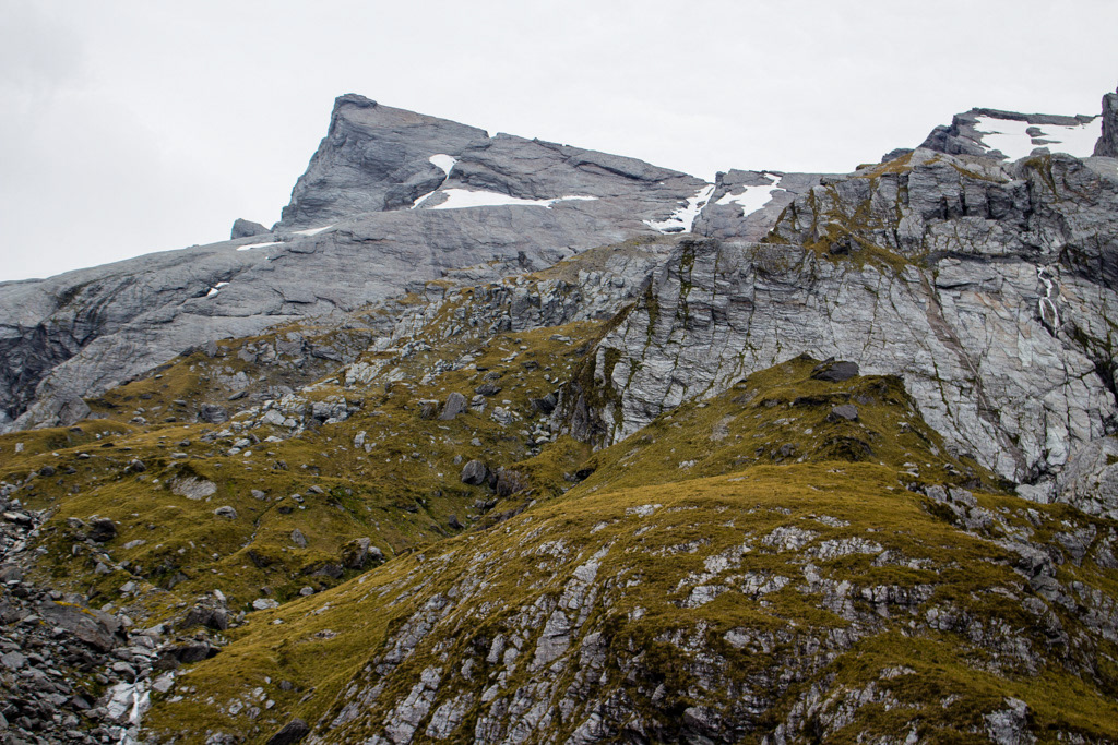
A final look at the Red Hills
Katherine on the latest twist in our adventure!
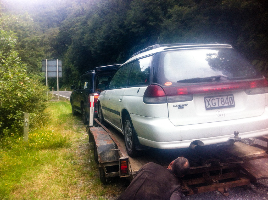
The one time that Scuby (may she rust in peace) has ever let me down. -photo taken on phone.
But of course it wasn’t over just yet. Upon arrival at the car we stuffed our faces with Doritos which had been thoughtfully stowed there before the trip and got on our way. Dream of the amazing lunch we were going to have in Wanaka. Only to break down just about the Gates of Haast! If we learnt nothing else on the trip it was to laugh instead of crying so that’s what we did. And Katherine and I are forever grateful to the lovely Nelson couple who stopped and shared their lunch with us on the side of the road which Lydia was off getting help.
Penzy post adventure.
Lydia post adventure.
Katherine post adventure.
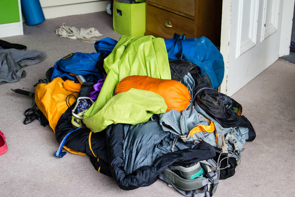
Post trip gear pile. Similar to pre-trip gear pile, only smells slightly worse.
A few months on I’m still not really sure if I am truly laughing or crying about this trip. But as planned it was a challenge, just not the one we expected and an epic, like I’ve never had before. I’m put back on the 5kgs I’ve lost and just about eaten every food I dreamed of while in that bivvy. The food drop on the other hand is still on Arcade Saddle and it will be highly amusing to see what state it is in when it finally makes it back! A massive thanks to FMC for funding what was simultaneously an incredible trip and an unmitigated disaster! And lastly the only thing left to be said it that I will be back in the Olivines, perhaps with a slightly less outrageous plan, just as soon as I have enough holidays (and friends) saved up to deal with such epic disasters again!